
MAPPING AND GIS ANALYSIS
Mapping is often the first step in understanding a landscape and can be instrumental for management planning and decision making.
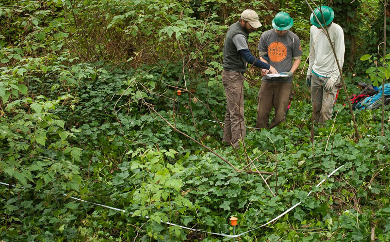
Mapping the existing conditions of a site can include delineating habitat types or management areas, mapping the extent of invasive plant infestations, determining canopy cover, identifying monitoring locations, or simply graphically illustrating the important features (such as creeks and trails) at a location.
EarthCorps’ staff includes experienced GIS specialists who are proficient in the latest ESRI ArcGIS platforms and are ready to work with you to develop a cost-effective approach to your mapping project